About
Please note: The Sky Hill track (part of the Millennium Way) will be closed to all vehicular traffic with immediate effect, until Tuesday 7 January while DEFA - Hills, Forests & Glens deal with unsafe trees in its plantation that borders the track.
The Royal Way (Via Regia)
Check Roadwatch before your walk.
Ordnance Survey Map: https://osmaps.ordnancesurvey.co.uk/route/4370257/Isle-of-Man-Millennium-Way
Grading: Strenuous
Distance: Approximately 23.26 miles
Start: Sky Hill, Ramsey
Finish: Castle Rushen, Castletown
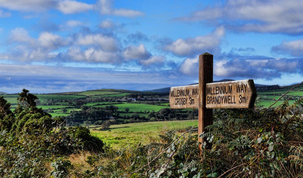
The Millennium Way was re-established in 1979 to celebrate the 1000th anniversary of the Manx Parliament, Tynwald.
The ancient route was once known as 'Via Regia', the Royal Way along which the former Kings of Man travelled from Ramsey to Castletown as recorded in the 13th Century Chronicles of the Kings of Mann and the Isles.
The route meanders through the heart of the Island, from the heights of the nothernmost town, climbing to open heather moorland on the slopes of Snaefell to reach the highest point of the path at 1500ft. From here it descends to Crosby and follows lowland paths, roads and the banks of the Silverburn river through Ballasalla to the medieval Castle Rushen, located in the Island's ancient capital.
Advice and Safety Information
The whole walk can be completed by an experienced walker in a day or it can be split into two or three sections. This walk contains some steep climbs. The section from Castletown to Crosby is the easiest route, and there are convenient points along the way where you can stop at a café or use local transport.
Strenuous - walks for experienced country walkers and a very good level of fitness. The route will include some hills and rough country. Walking boots and suitable clothing are essential.
Facilities
Accessibility
- Distance: Over 20 Miles
- Grade: Difficult/ Strenuous


