About
Ordnance Survey Map: HERE
Grading: Moderate
Distance: 20.5 km / 12.5 miles
Start: Douglas Millennium Bridge
Finish: Derbyhaven
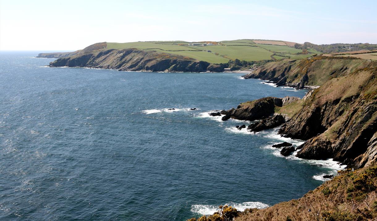
As you head south along the Island’s picturesque coastline you will be met with breathtaking scenery and stunning panoramic views across Douglas Bay, before following the old coast road, Marine Drive which eventually arrives at Port Soderick.
As you continue on your walk you will pass a number of historical sites that you can take time to explore, including the Iron Age fort at Cronk ny Merriu and Cass ny Hawin.
Towards the end of your journey you will be rewarded with beautiful views over Derbyhaven Bay, one of the richest archaeological landscapes on the Isle of Man and a great place to stop for some photos.
Advice and Safety Information
Be sure to take care as you pass through the Santon Gorge where mud and rain can make the area slippery.
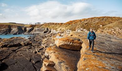
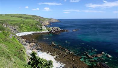
Images show a selection on the towns you will pass through.
Facilities
Accessibility
- Distance: 10-20 Miles
- Grade: Moderate


